3D Laser Scanning & Existing Conditions Documentation
Based in the Aventura–Miami area, Madak provides 3D laser scanning, LiDAR reality capture, and existing conditions documentation throughout South Florida.
We help architects, contractors, interior designers, industrial and facility teams, and homeowners work from reliable building data for design, construction, renovation, and facility management.
From field capture through point-cloud processing, CAD drafting, BIM modeling, and digital delivery, every scope is built around the files your project team actually needs.
Services include 3D laser scanning, Scan-to-CAD, Scan-to-BIM, as-built drawings, floor plans, RCPs, roof plans, sections, elevations, industrial and MEP documentation, drone capture, and digital twins.

3D Laser Scanning
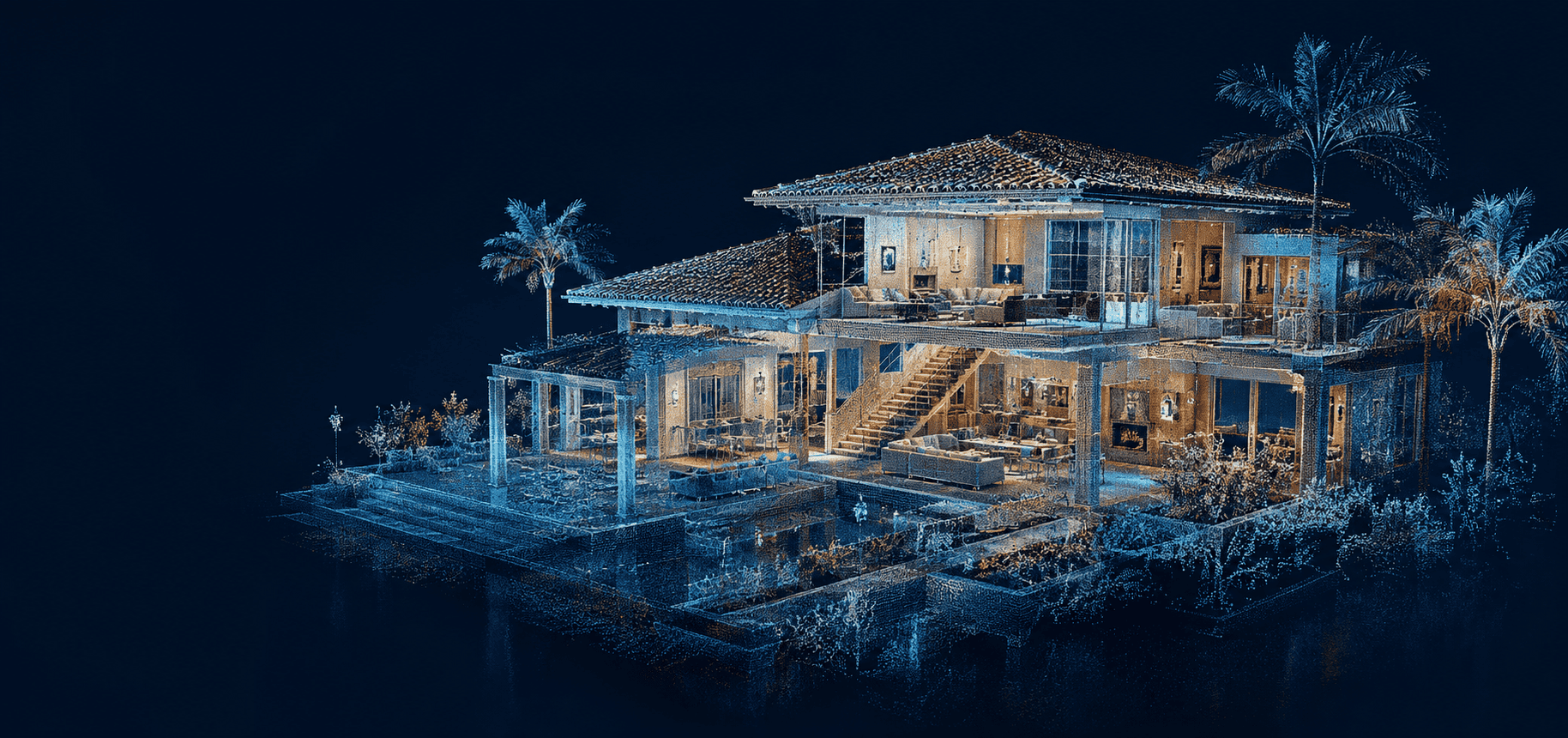
3D laser scanning is one of the most efficient ways to measure and document a building or site.
Instead of relying on manual measurements alone, laser scanning captures millions of data points to create a precise digital representation of the existing environment.

Point-Cloud Processing & Registration
We register, align, clean, and organize captured point clouds so they are ready for CAD drafting, BIM modeling, coordination, or direct delivery.
Clients with existing scan data can also engage Madak specifically for point-cloud processing and production services.

Scan-to-CAD & As-Built Drawings
Point clouds are converted into organized 2D CAD documentation, including as-built floor plans, reflected ceiling plans, roof plans, and existing conditions drawings.
Deliverables are prepared to support architectural design, contractor coordination, tenant improvements, renovation, and construction planning.

Elevations, Sections & Façade Documentation
Drawing packages can include exterior elevations, interior elevations, architectural sections, building sections, and detailed façade documentation.
These deliverables give design and construction teams a dependable vertical record of the existing building.

Scan-to-BIM & Revit Modeling
Registered point clouds can be converted into Revit models and existing conditions BIM for design, coordination, renovation, and facility workflows.
Model scope and level of detail are defined for each project so the BIM deliverable remains practical and fit for purpose.

Industrial, Facility & MEP Documentation
Industrial 3D laser scanning documents facilities, mechanical rooms, equipment, visible MEP systems, and complex operational spaces.
Point clouds, CAD drawings, BIM models, and equipment documentation help facility teams plan upgrades and reduce unnecessary return visits.
This service is particularly valuable for industrial plants, commercial facilities, warehouses, and technical environments.

Drone Capture & Photography
Drone imagery, aerial photography, still photography, and 360° imagery can supplement laser-scanning data when appropriate to the project.
Visual records add context to point clouds and drawings, supporting remote review, documentation, and project coordination.
Drone operations are scoped according to site conditions, access, and applicable flight requirements.

Digital Twins & Building Records
Madak creates coordinated digital building records and digital twins that bring together spatial data, drawings, imagery, and models.
These assets support planning, asset documentation, renovation, facility management, and future project phases.

Deliverables
Deliverables are defined according to the needs of each project, so your team receives information that is useful, practical, and ready to support the next step. Depending on the project, Madak can provide digital deliverables such as:
Depending on scope, deliverables may include registered point clouds, DWG drawings, PDF sets, floor plans, RCPs, roof plans, elevations, sections, Revit models, imagery, and digital building records.
Why Work With Madak?
3D laser scanning is one of the most efficient ways to measure and document a building or site.
Madak combines technical precision with practical project understanding.
We know that accurate measurement is not just about collecting data. It is about helping people make better decisions, avoid errors, and move forward with confidence.
Our approach is:
- Precise
- Reliable
- Practical
- Professional
- Adapted to each project
- Focused on clear deliverables
Based in the Aventura–Miami area, Madak serves Miami-Dade, Broward, Palm Beach, and projects throughout South Florida.
Frequently Asked Questions
Yes. Madak works with homeowners, architects, contractors, engineers, designers, property managers, real estate professionals, and businesses.
Madak serves clients across Florida, including Miami, Fort Lauderdale, Orlando, Naples, and Tampa.
3D scanning can be used for building measurement, renovation planning, as-built documentation, floor plans, exterior documentation, construction coordination, and digital records of existing spaces.
Yes. Deliverables can be prepared according to the needs of the project and the professionals involved.
No. Reality capture and measurement services are useful for both large commercial buildings and private homes. The service is adapted to the size and complexity of the project.
Accurate documentation helps reduce mistakes, avoid surprises, improve planning, and give every stakeholder a reliable understanding of the space before work begins.